Click Picture to see full size
Maps
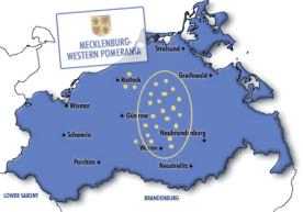
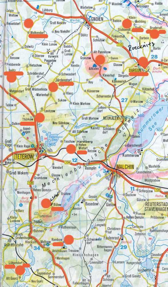
These maps show where the people we're researching lived in Mecklenburg from about 1690 to 1800. As far as we know, only a few people lived in Pomerania so the older Mecklenburg - Pomerania border is not indicated here. There is an excellent map of what Germany looked like in 1871 at this link.
The locations indicate the parishes where about 113 known marriages between 1690-1800 occurred. Apparently, immigration of our ancestors to the U.S. pretty much ceased after the late 1800's. We have indications that people migrated over the border to Vorpommern (West Pomerania) but research in this area is very difficult. There are some other good map links listed below. Click here if you want to see the data on the 30 families we know emigrated to the US during the period 1857-1888
Click Picture to see full size
Other Maps of Interest